SEE
Mindelo
Cesária Évora's hometown and the musical capital: harbor bars, live morna most nights, and the country's biggest Carnival each February. The airport carries her name.
Cape Verde isn't one destination — it's an archipelago where the islands do completely different jobs. Santo Antão has the hiking, Fogo has a volcano you sleep inside, Mindelo has the music, Sal and Boa Vista have the beaches. The whole trip lives or dies on how you move between them, so this guide starts there. Everything below was checked in July 2026.
16.9°N · FLY IN HERE FOR THE NORTH
Cesária Évora's hometown and the musical capital: harbor bars, live morna most nights, and the country's biggest Carnival each February. The airport carries her name.
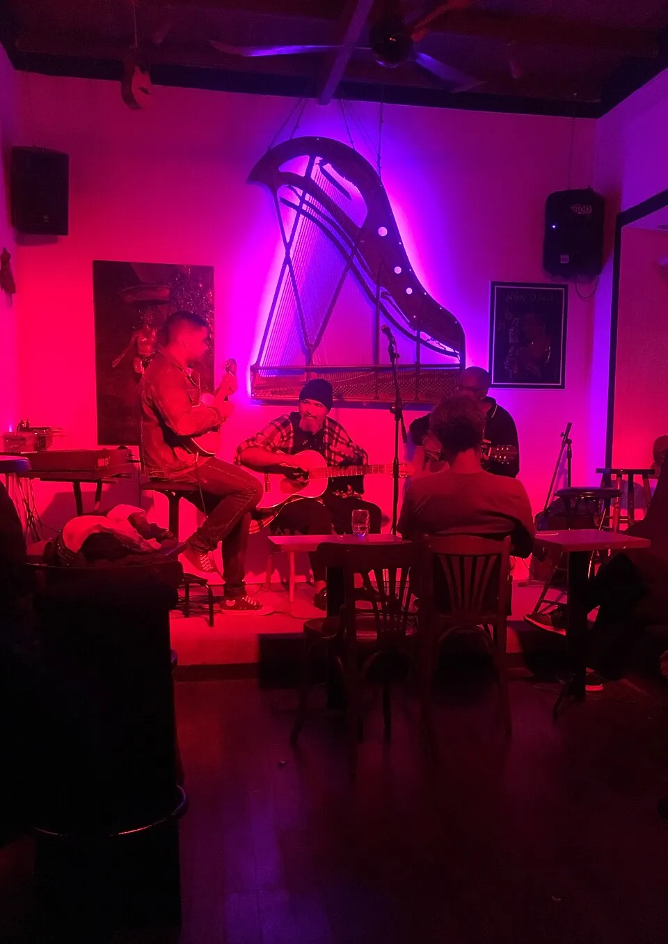
eat dinner where the music actually happens; the room doubles as the city's living archive of morna.
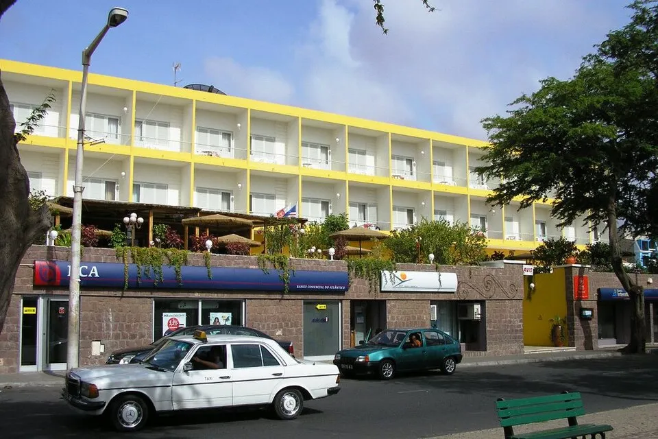
the hotel on the main square; unfussy, central, and the easy base for a night or three either side of the ferry.
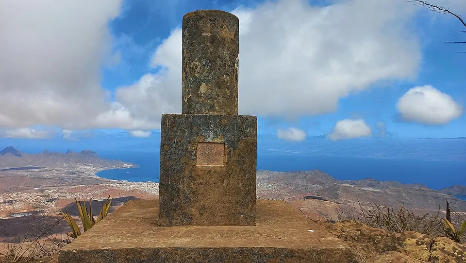
The island’s rooftop at 744 metres — a short taxi from Mindelo for the full sweep of city, bay and Santo Antão across the channel.
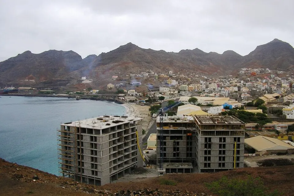
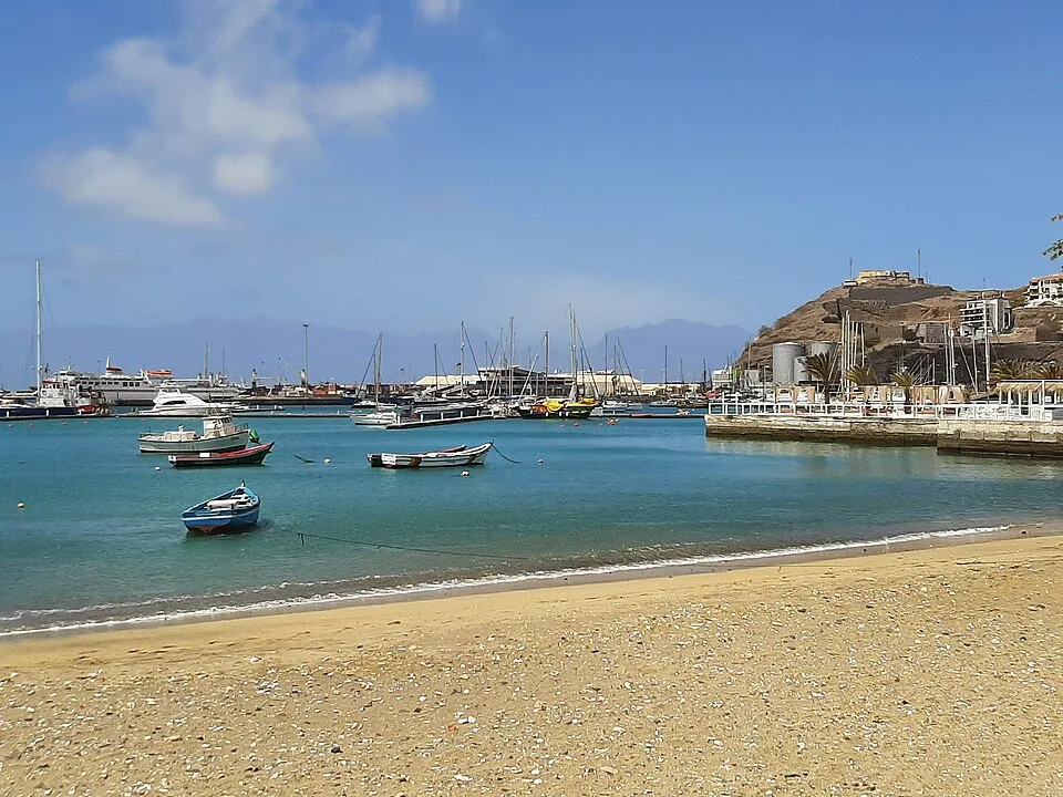
Mindelo’s town beach — pale sand and glassy water fifteen minutes’ walk from the harbor bars, with the lighthouse islet offshore.
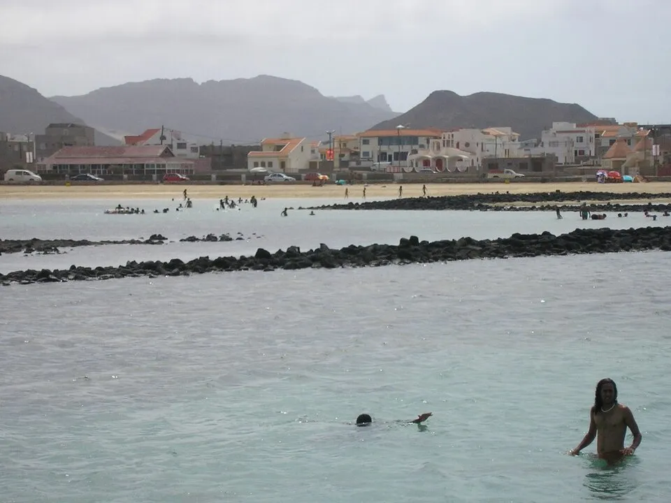
A reef-sheltered natural lagoon that hosts the “Woodstock of Africa” — the full-moon festival running since 1984, back each August.
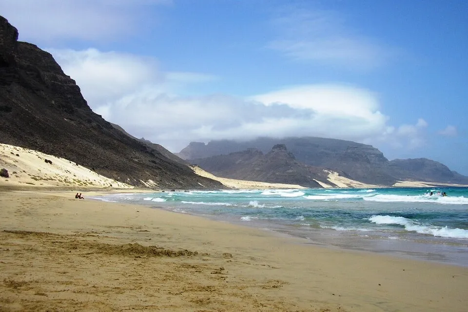
A fishing village and its wild white beach ringed by volcanic rock on the empty east coast — Sunday-lunch territory for Mindelenses.
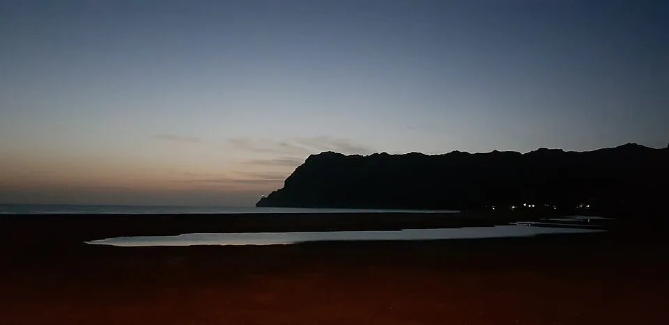
The bay by the airport where windsurfers have clocked over forty knots — watch from the fishing village end unless you’re the one racing.
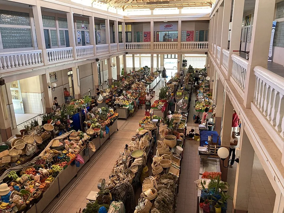
Mindelo’s 1878 covered market, stocked by boat from Santo Antão’s valleys — come mornings for the full theatre.
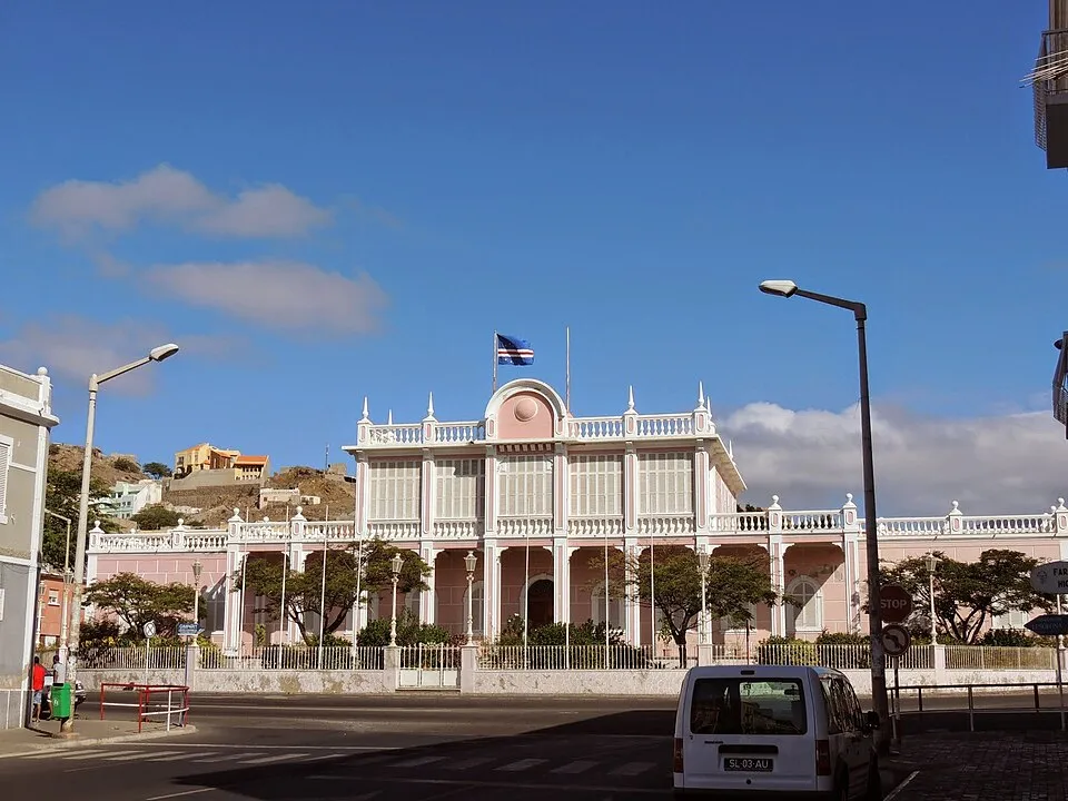
The governor’s palace of 1874, pink and white and now the people’s — home to a small Carnival museum between festivals.
FERRY-ONLY · THE REASON HIKERS COME
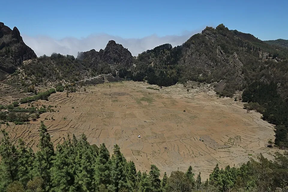
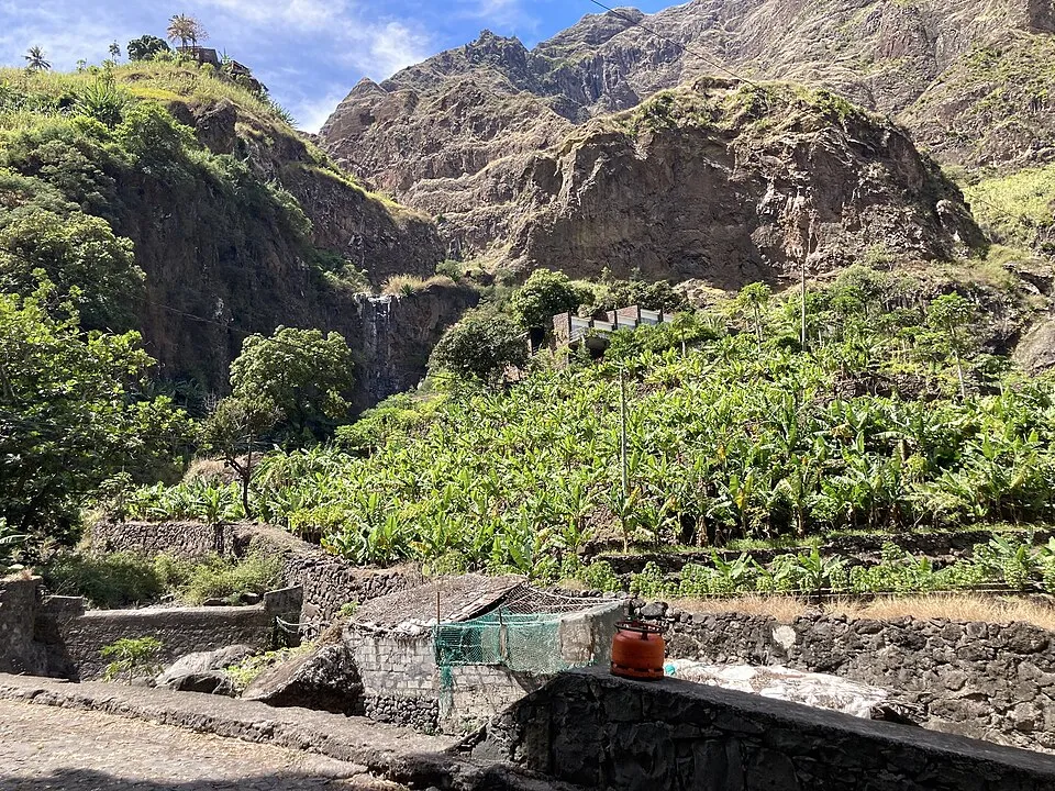
over a crater rim and down into a green amphitheatre of terraced farms; the signature walk of the island. August 2025's floods hit these valleys hard and repairs continue — ask locally about trail conditions, and treat the rainy months (roughly August–October) as rockfall season on the coast road.
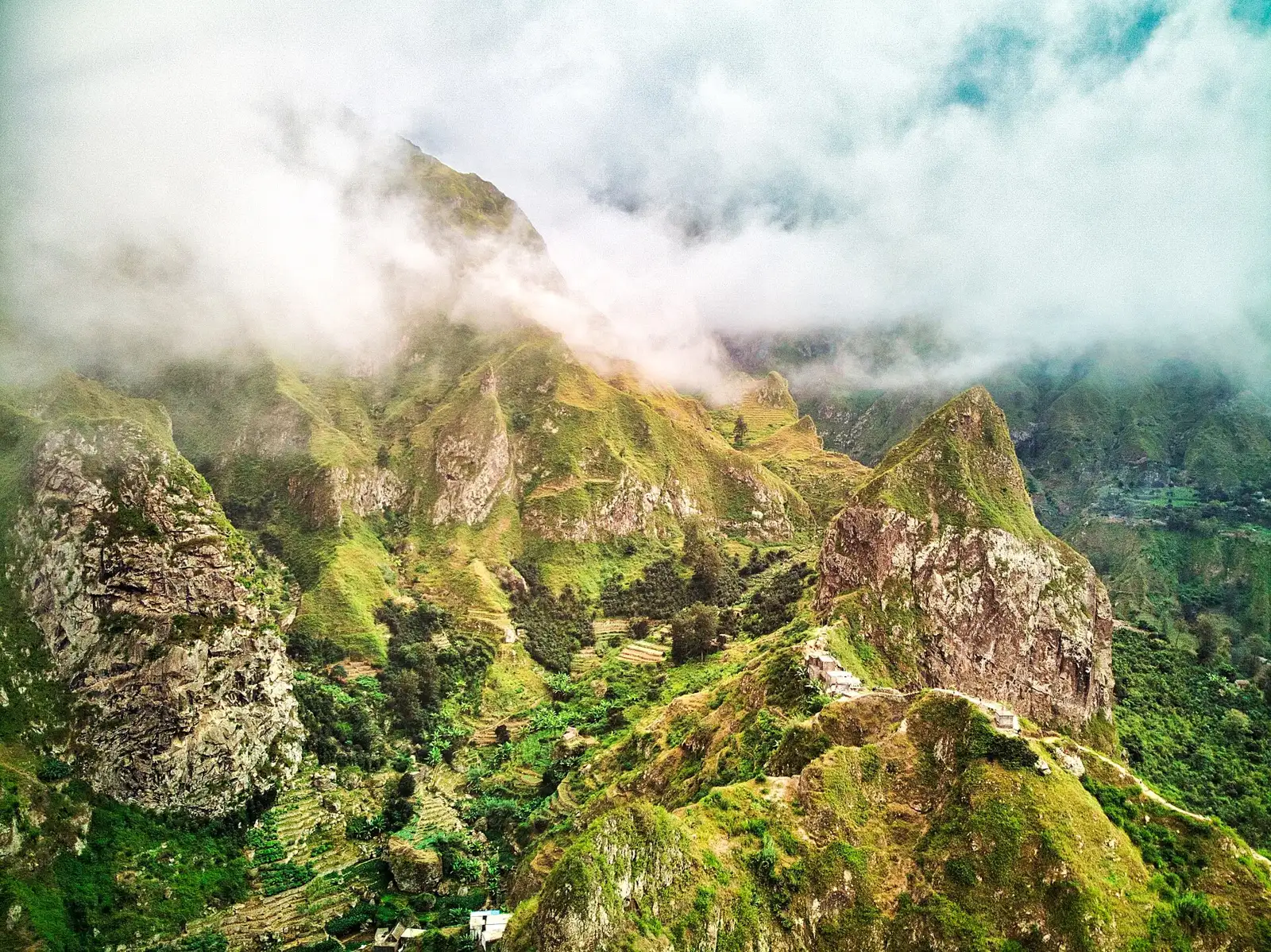
guesthouse terraces in the Paúl valley, which is the greenest place in the country and the right base for walkers.
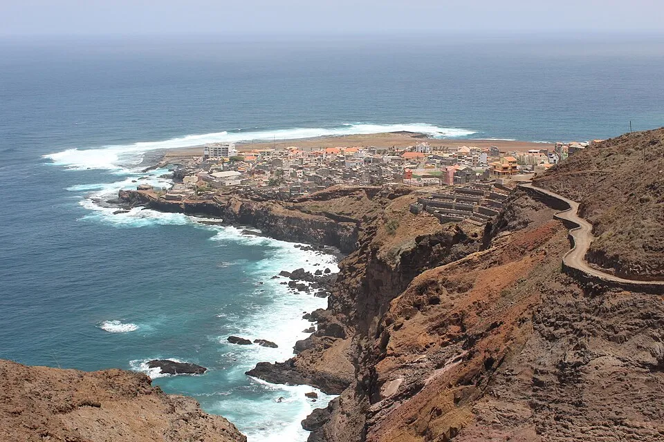
at the end of the coastal road where the cliffs take over; the comfortable option on the island's dramatic north edge.
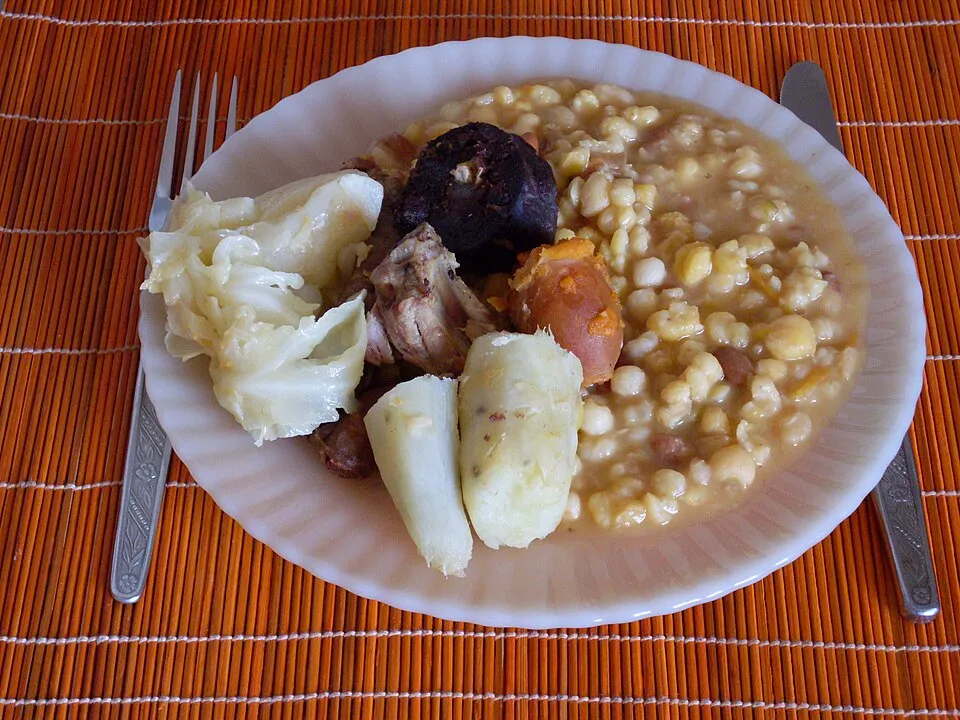
Ribeira Grande's dependable table for grilled fish and cachupa after a day on the ridges.
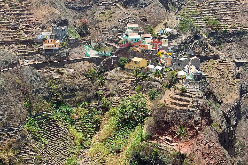
The village National Geographic put on its most-beautiful-views list — pastel houses on a knife ridge above terraced cliffs, a 45-minute walk from Ponta do Sol.
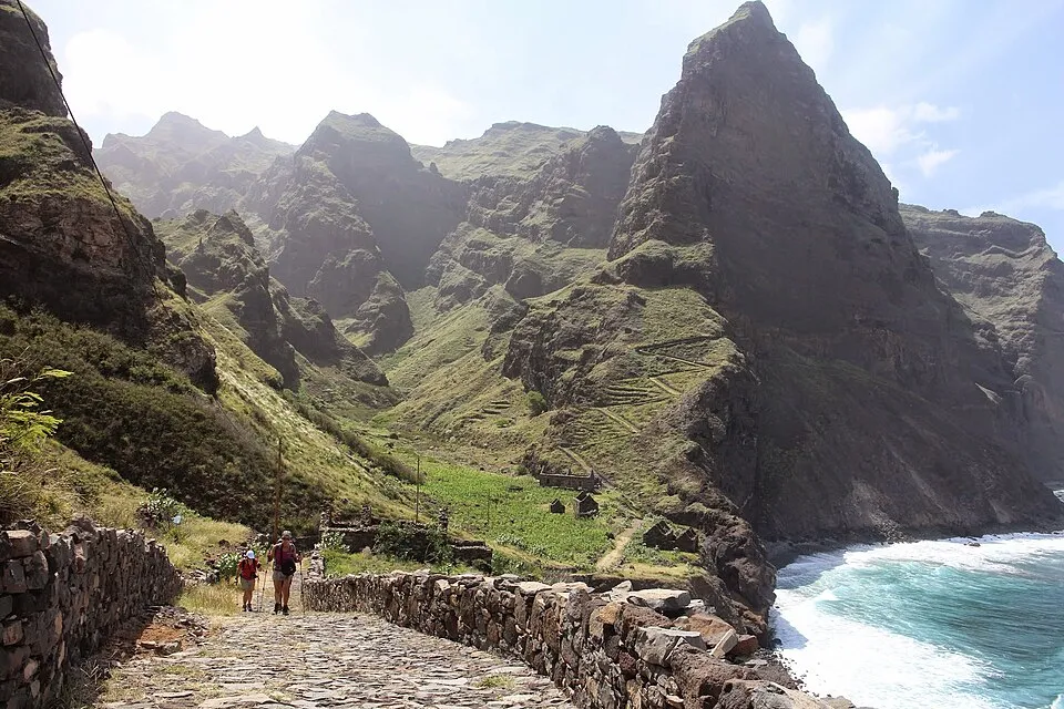
Five to six hours on a mule path carved into sea cliffs, through Fontainhas and villages with no road at all. The island’s signature coastal walk.
The valley village under a fang of rock at the head of Ribeira da Torre — the classic descent from the pine forest drops thirteen hundred metres past it.
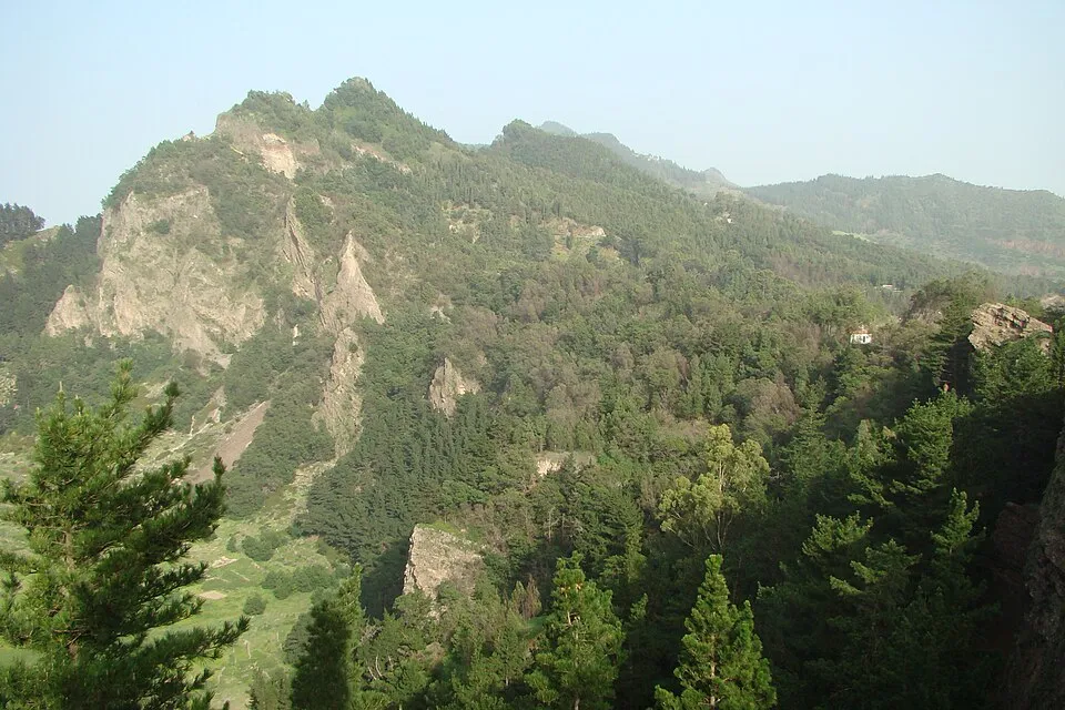
A viewpoint at 1,585 metres in the eastern pine forest — arrive early and you’re standing above a sea of clouds with Paúl far below.
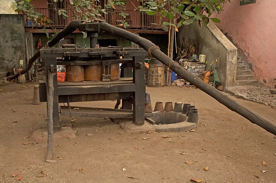
Grogue at the source: an ox-powered cane press, wooden fermentation barrels, and a wood-fired copper still — the drink’s whole story in one farmyard.
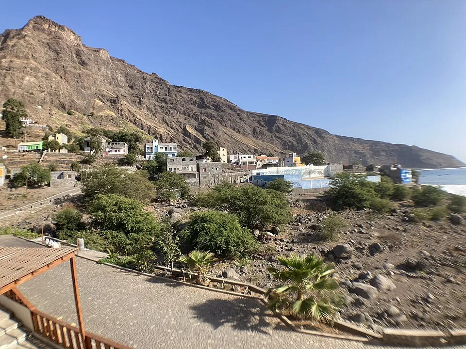
An oasis village on the desert southwest coast that only got a road in 2021 — terraced greens meeting black sand at the end of everything.
SLEEP INSIDE THE CALDERA
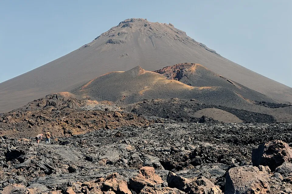
2,829 metres of live volcano rising straight out of an inhabited caldera. The climb is a hard half-day on loose cinder and you hire a local guide for it — around €35–40 a head, arranged in the villages, and not a formality you skip. Last eruption: 2014–15.
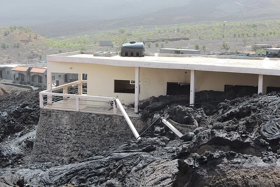
the 2014 eruption buried most of the caldera villages; Marisa's guesthouse was rebuilt directly on top of the new lava, which tells you everything about this community. Sleep here, eat here, listen.
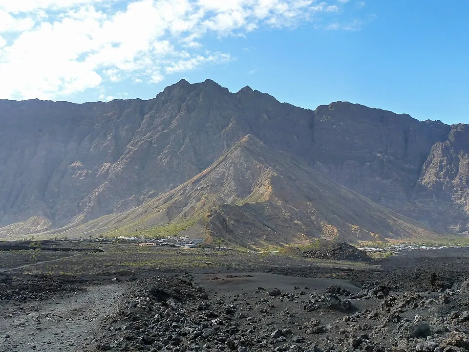
solar-powered rooms at the foot of the Pico, run by one of the caldera's veteran guides.
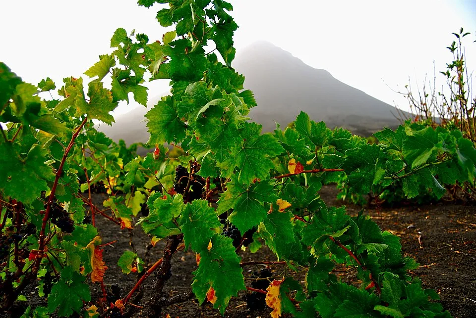
the caldera's wine cooperative, destroyed in 2014 and rebuilt: vines in black cinder at altitude, tastings arranged locally. Volcano wine is not a gimmick here; it's the economy.
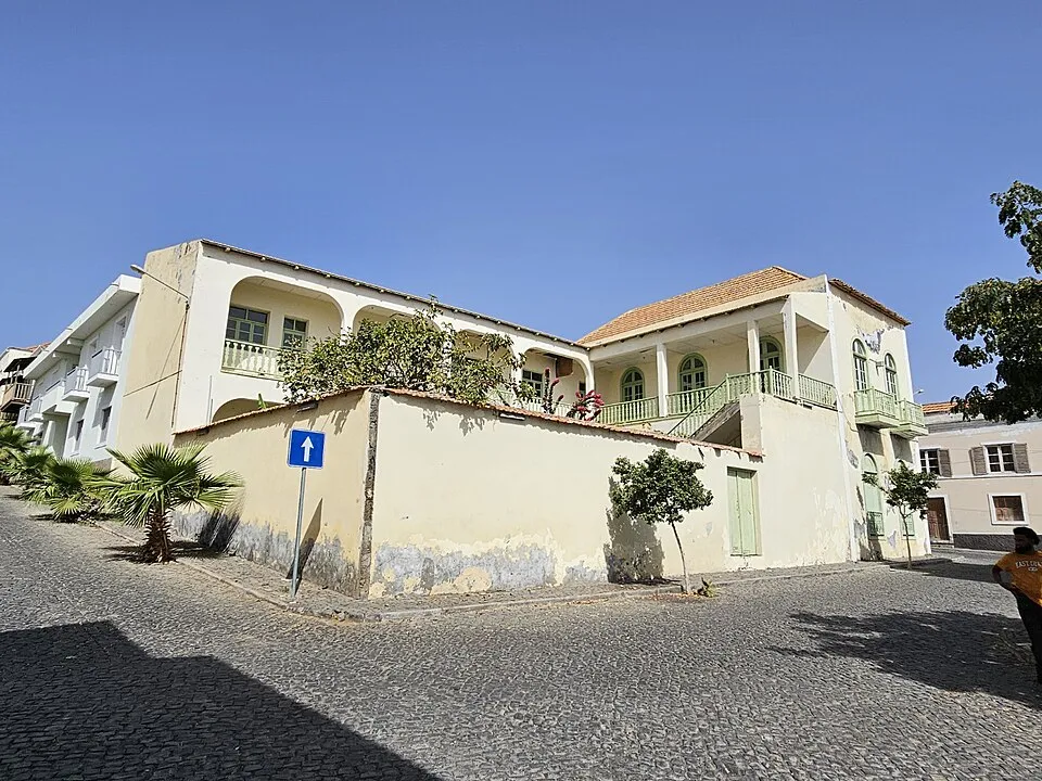
Cape Verde’s second-oldest town and the country’s best collection of sobrado mansions — pastel colonial houses dripping toward a black-sand sea.
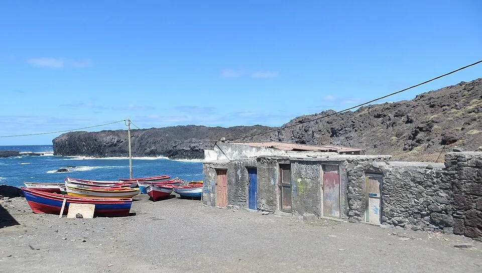
Where the lava met the sea and made a swimming pool — the sheltered natural pool by São Jorge is one of Fogo’s few safe ocean swims.
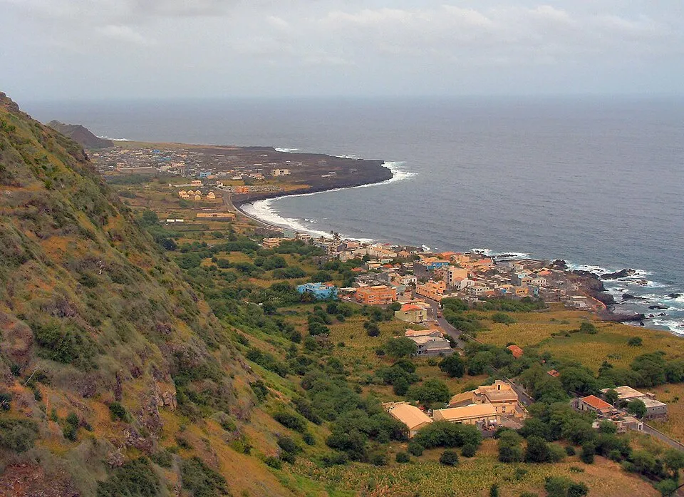
Fogo’s green corner — coffee growing on volcanic slopes from 350 to 1,300 metres, and a working town that tourism hasn’t rearranged.
CAPITAL ISLAND · MOSTLY A HINGE, WITH ONE GREAT REASON TO PAUSE
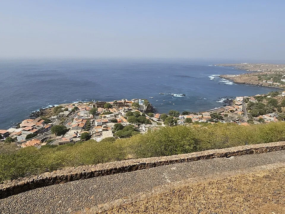
UNESCO-listed and quietly heavy: the fort above, the 1495 church, the pillory in the square, and Rua Banana running toward the sea. The Atlantic slave trade's first European town in the tropics asks an hour of your attention on the way through Praia.
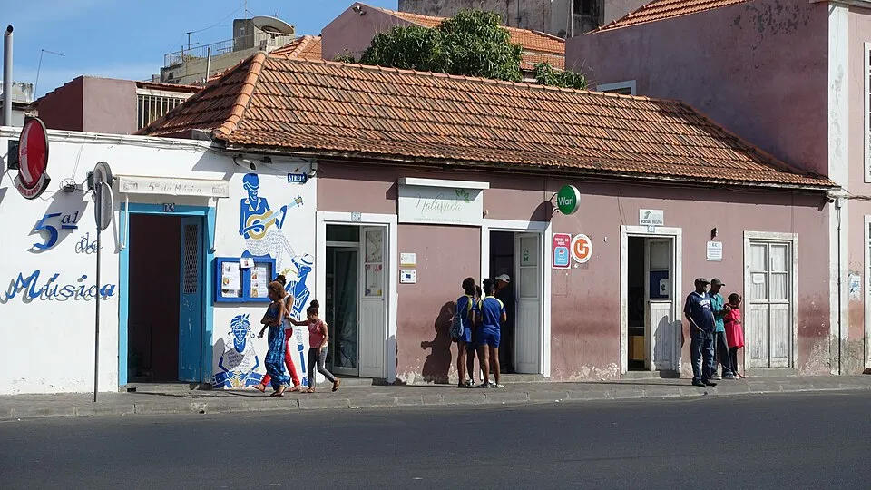
Praia's live-music dinner house; the capital's answer to Mindelo, and the right way to spend a transit evening.
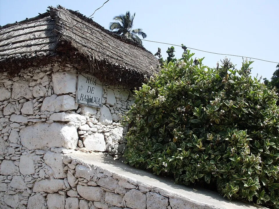
sleep in Cidade Velha itself rather than Praia traffic; small, simple, beside the history.
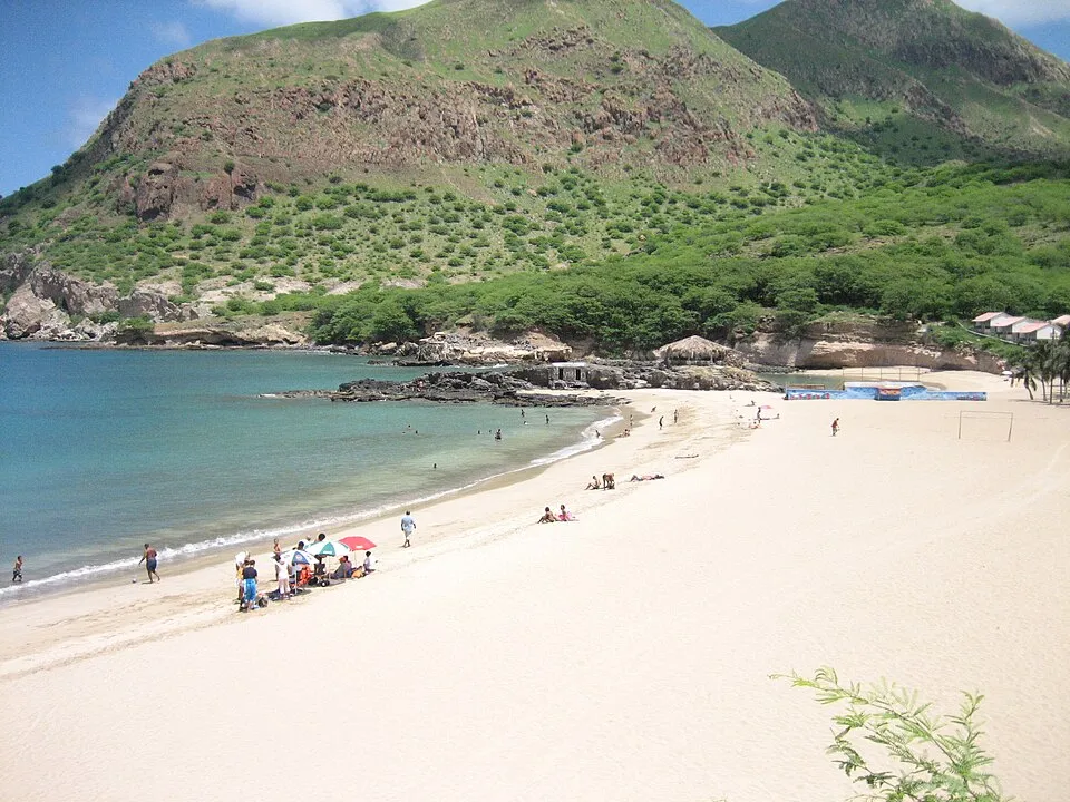
The white-sand bay at Santiago’s far tip — two hours from Praia, fishing boats on the sand, and the island’s best swimming.
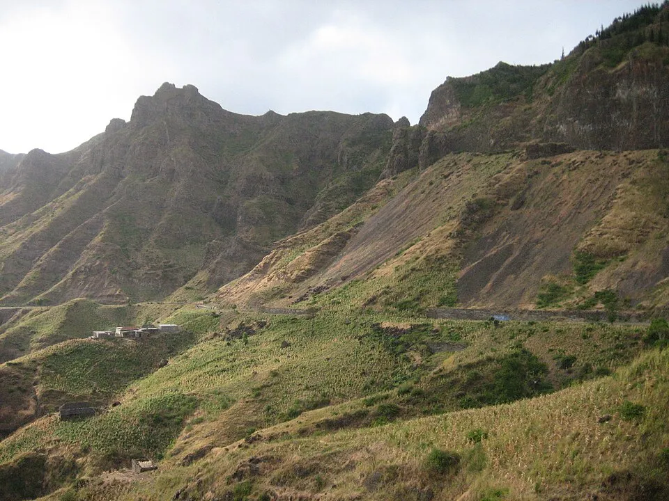
The highland park at a thousand metres — marked trails through mist forest that hides two dozen plants found nowhere else on Earth.
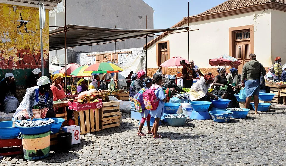
Santiago’s great inland market — busiest Wednesdays and Saturdays, everything from tuna to textiles, cash only and all elbows.
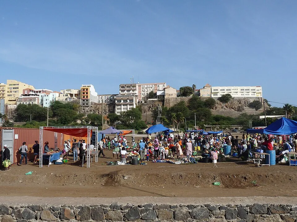
The capital’s old town on its table of rock above the harbor — a 19th-century grid on UNESCO’s waiting list, best walked in the morning.
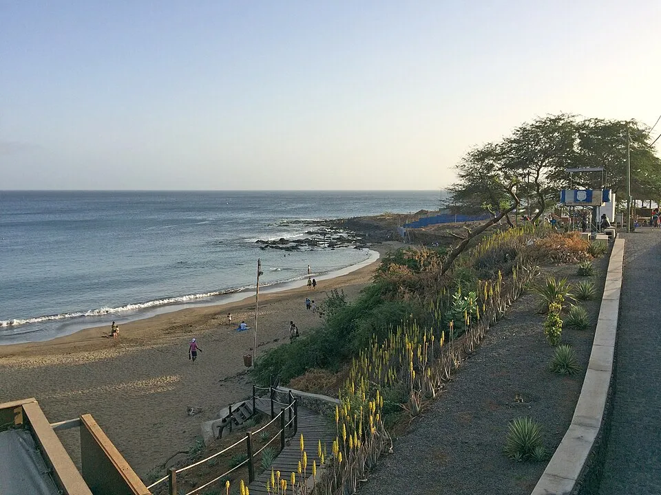
Praia’s own beach — a sheltered two-hundred-metre crescent below the cliffs, gentle enough for first-time surfers.
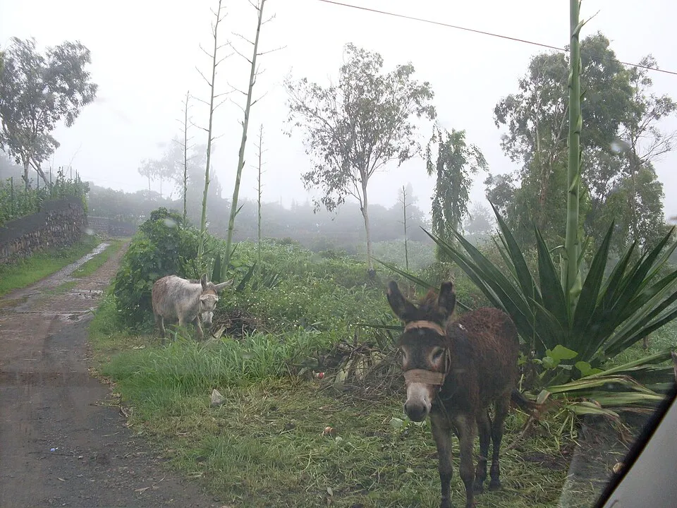
A green mountain village at eight hundred metres — the trailhead for Monte Tchota and the Pico da Antónia ridges, with clouds below you by afternoon.
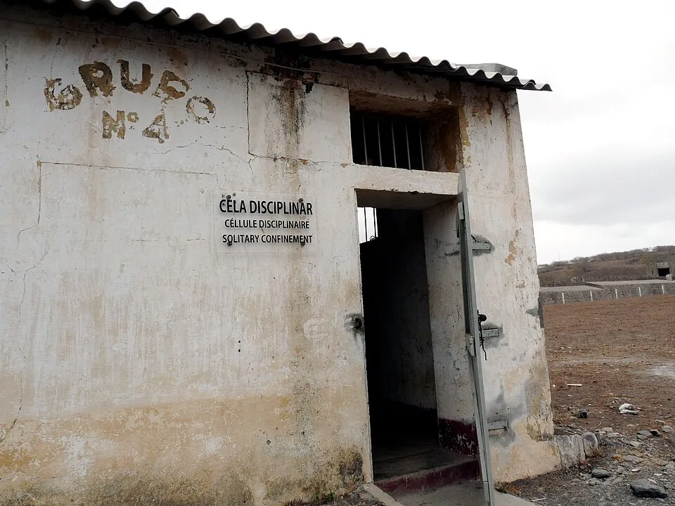
The Tarrafal camp — Portugal’s colonial concentration camp, holding anti-fascists and independence fighters from 1936 to 1974. A museum since 2000, and the island’s heaviest hour.
PACKAGE-TOURISM CAPITAL · TWO REAL SIGHTS + REAL WIND
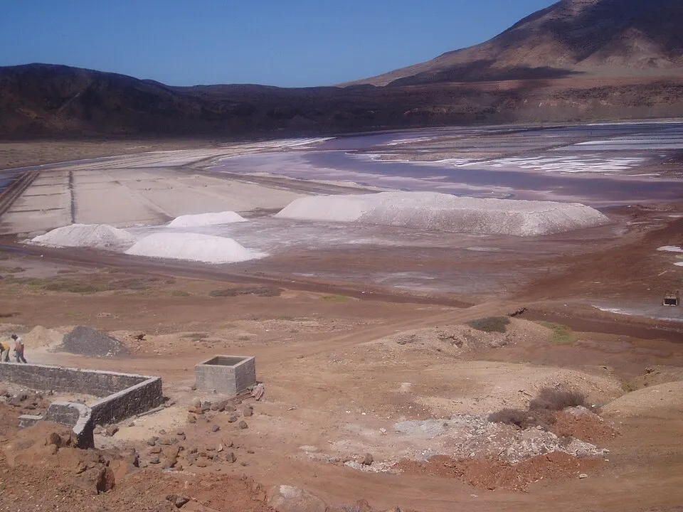
float in the salt ponds inside an old volcanic crater, brine dense enough to hold you like the Dead Sea. Small entry fee, short visit, genuinely odd.
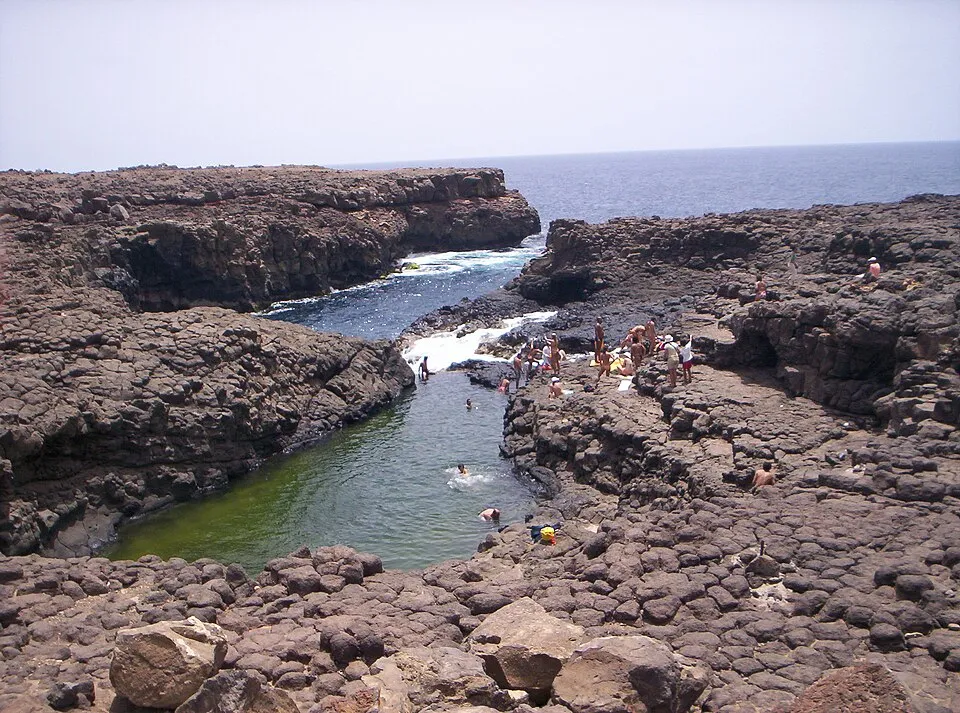
the "Blue Eye" lava pool lights up only around midday sun; the rock edges are sharp and unfenced, so swim only with local guidance.
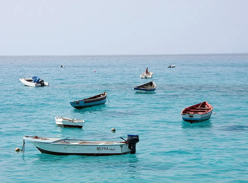
Santa Maria's family-run classic from before the resort era, on the long white beach where the kite- and windsurf schools line up. The independent choice on a resort island.
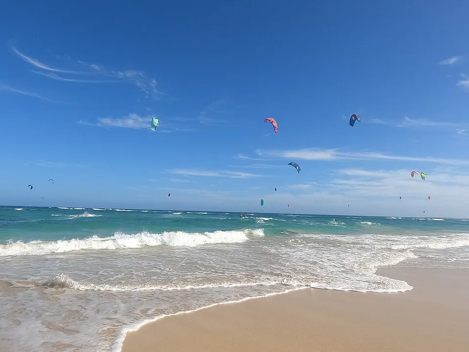
Trade winds of fifteen to thirty knots from October to May and a bay full of kites — with loggerhead turtles nesting on the same sand in summer.
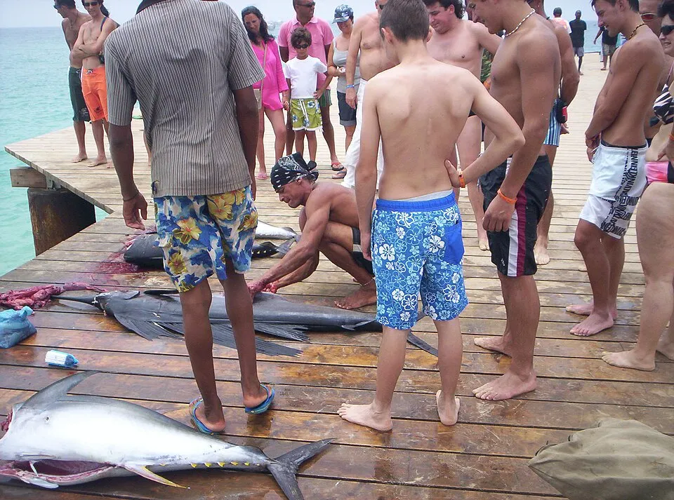
The old salt pier where the fishing boats land around eleven — tuna and wahoo straight onto the boards, the day’s best free show.
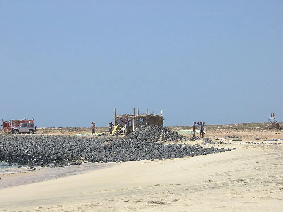
The wave — a left-hander that reaches five metres and has hosted world-championship surf. A half-hour walk from Santa Maria to watch it break.
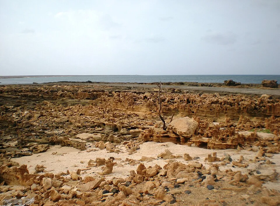
The quiet west-coast marine reserve — six thousand protected hectares of sea, rock pools at the shore, turtles and seabirds in the season.
SAHARA OFFSHORE · NESTING COAST
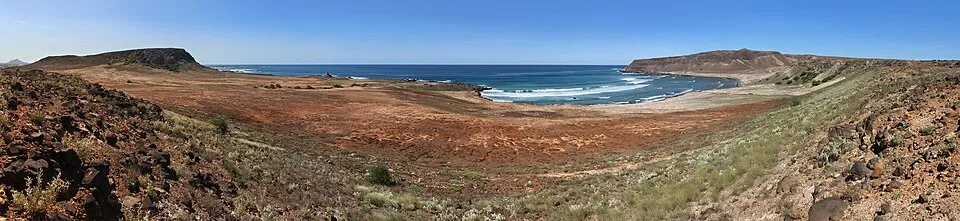
a rebuilt fishing ghost-village on an empty stretch of coast, and the island's real alternative to the all-inclusive strip.
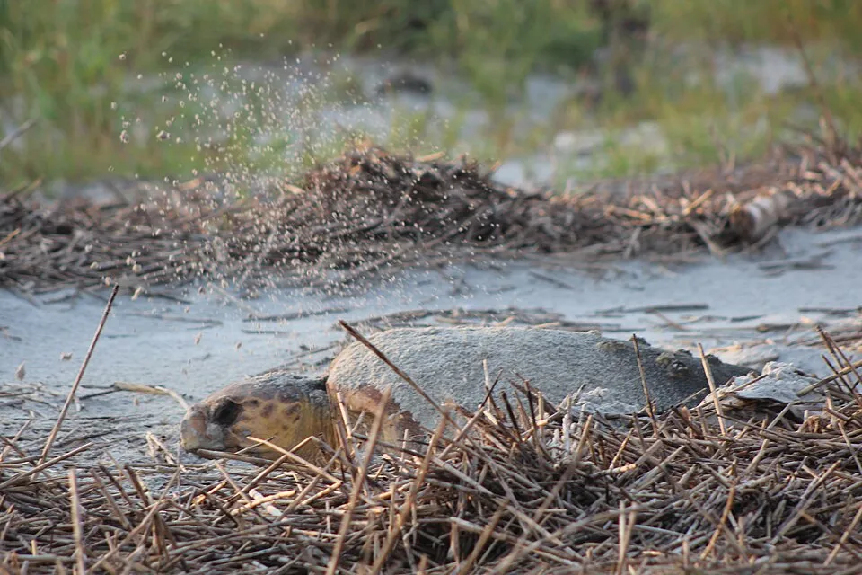
Boa Vista's beaches are among the Atlantic's most important loggerhead nesting grounds, roughly July to October. Go at night only with a licensed local guide; lights and freelancing do real harm.
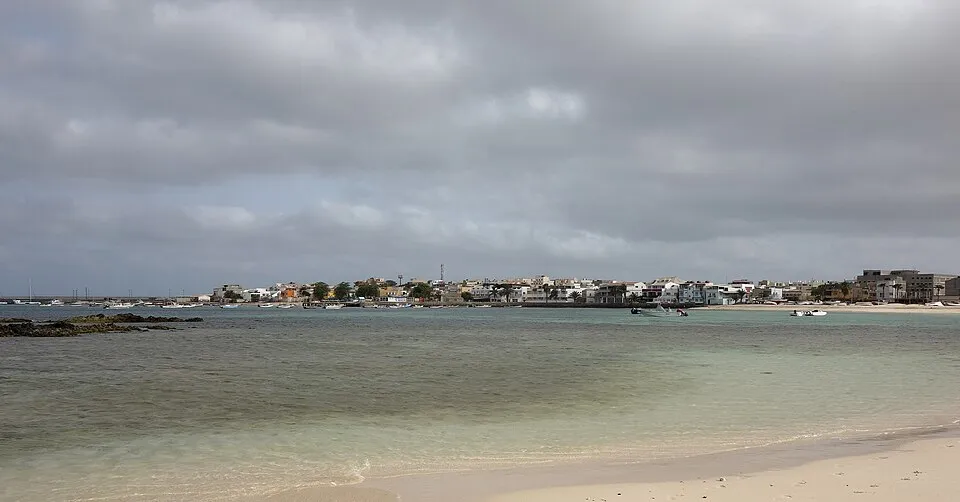
The island capital — a slow grid of squares and fish grills facing its bay, with the pirate-scarred fort islet offshore.
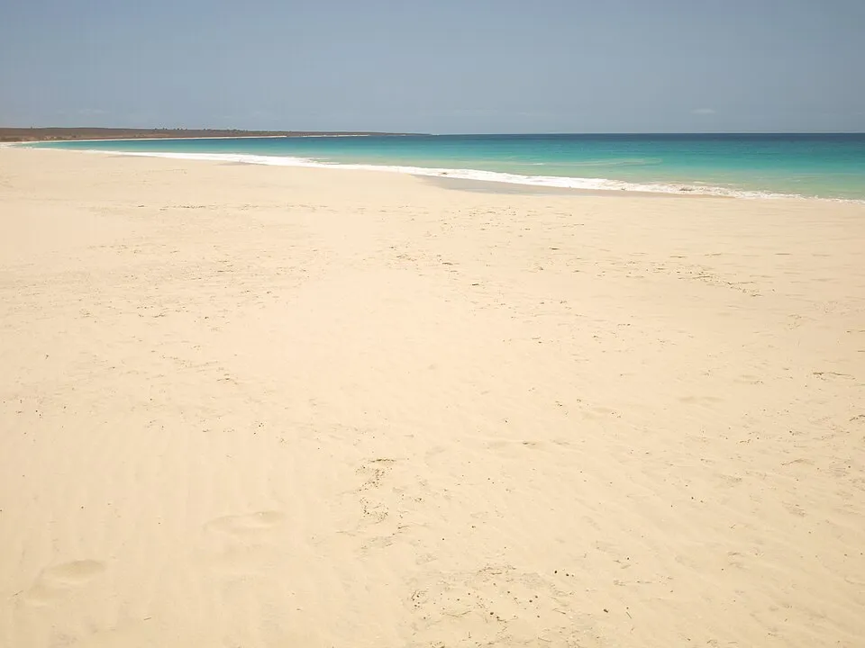
Eleven unbroken kilometres of white sand with nothing built on it — the beach the resort brochures wish they had, reachable by 4x4.
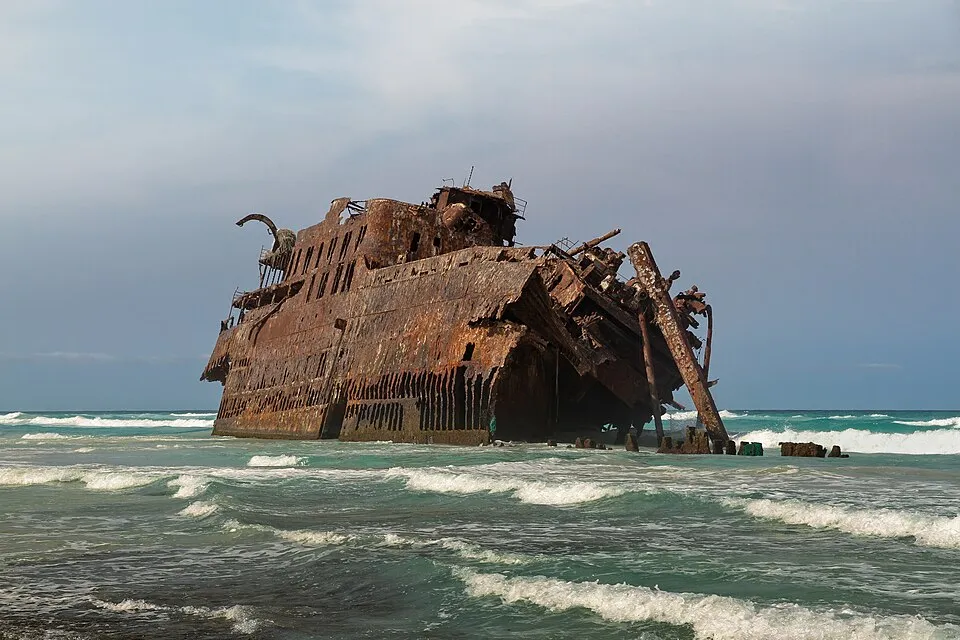
The rusted skeleton of a Spanish freighter that ran aground in 1968, dissolving into the surf of Atalanta beach — Boa Vista’s strangest landmark.
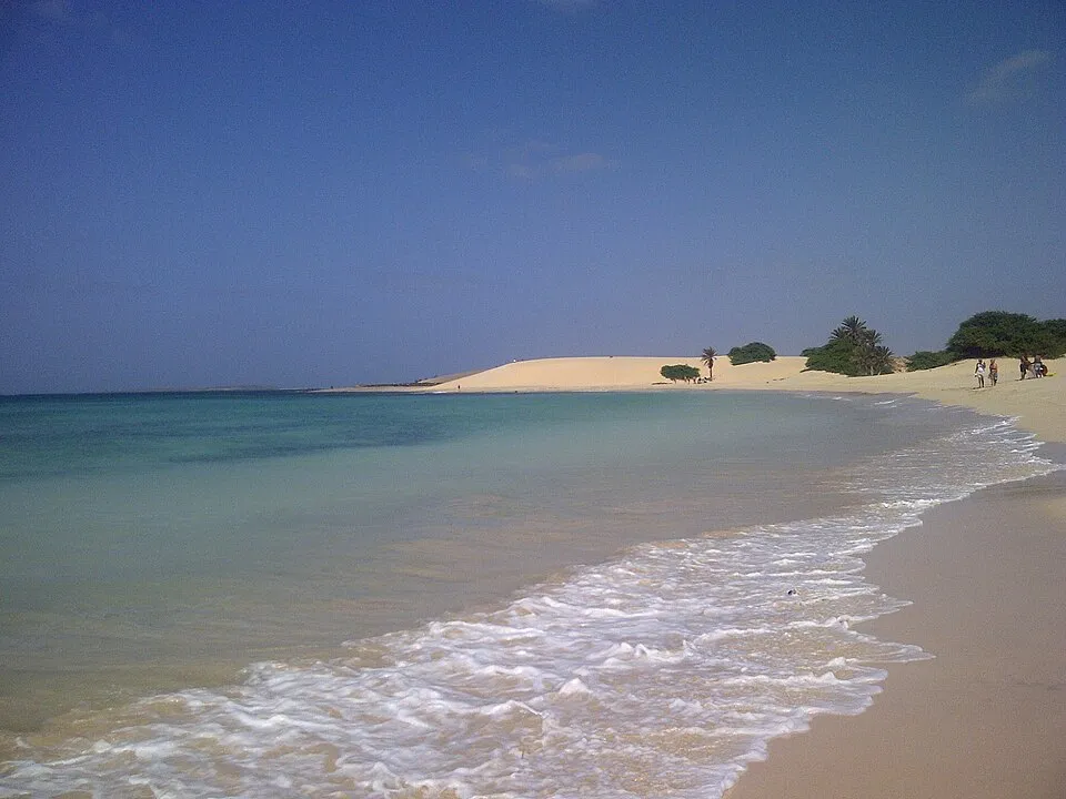
Five kilometres of dune-backed beach fed by the Viana desert’s wandering sand — the walkable wilderness next to the resort strip.
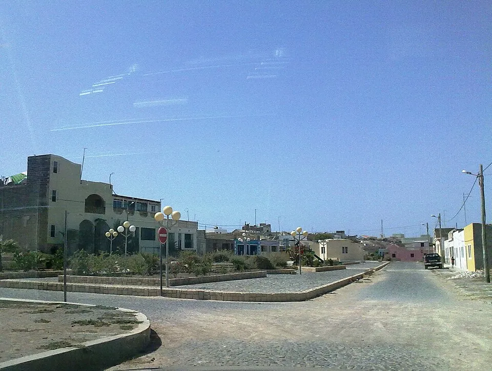
The old capital, with the island’s 1802 church and a pottery school keeping the clay tradition alive — twenty minutes and two centuries from the resorts.
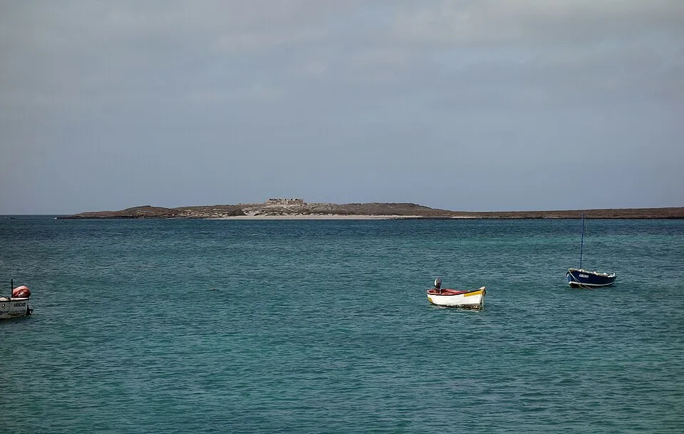
The islet a kilometre off Sal Rei, crowned by a ruined fort built after pirates sacked the town twice in three years — a natural monument now.
The quiet three, for slower or repeat trips. Brava is ferry-only with real stranding risk; São Nicolau takes a long ferry or scarce flights; Maio is one short hop from Praia.
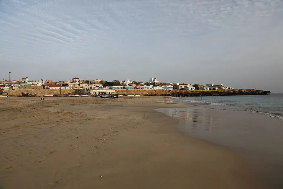
The sleepy capital they still call English Port, after the salt ships — a grand 1872 church, pastel lanes, and no hurry anywhere.
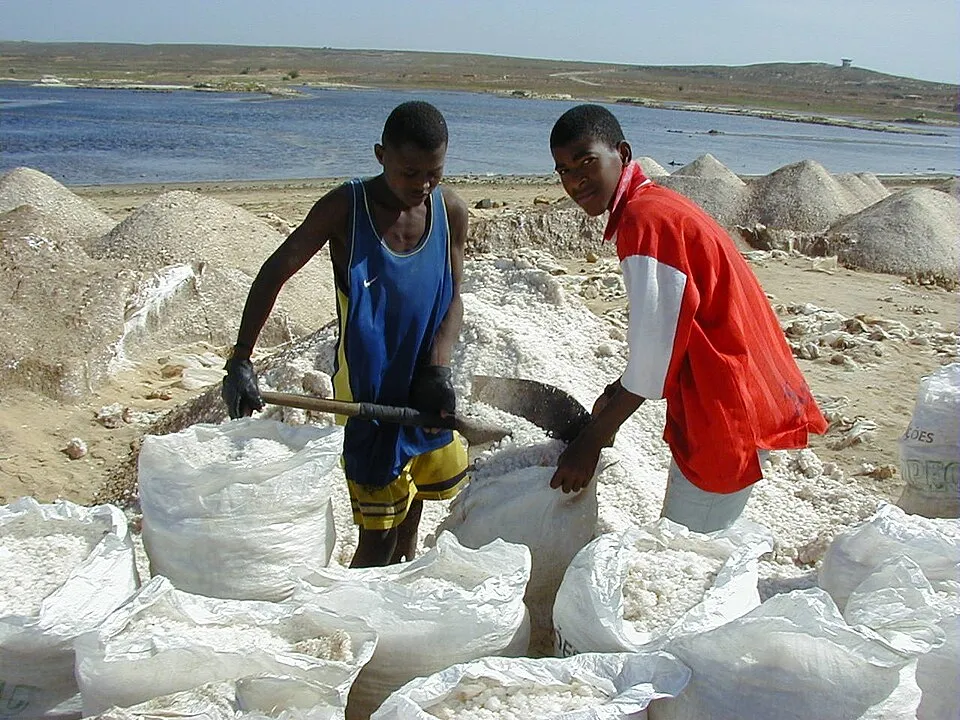
Cape Verde’s largest salt pan — five kilometres of white crust and pink water, a protected Ramsar wetland where salt is still raked by hand.
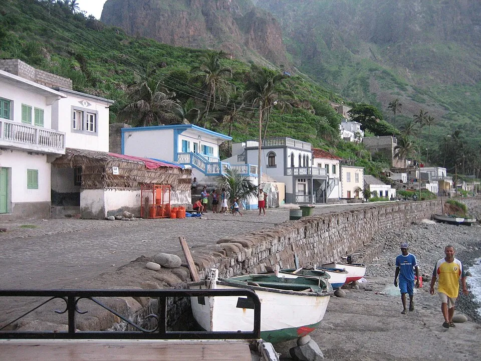
Brava’s prettiest corner — a crescent of palms and fishing boats below cliffs, beside an airstrip the wind closed permanently in 2004.
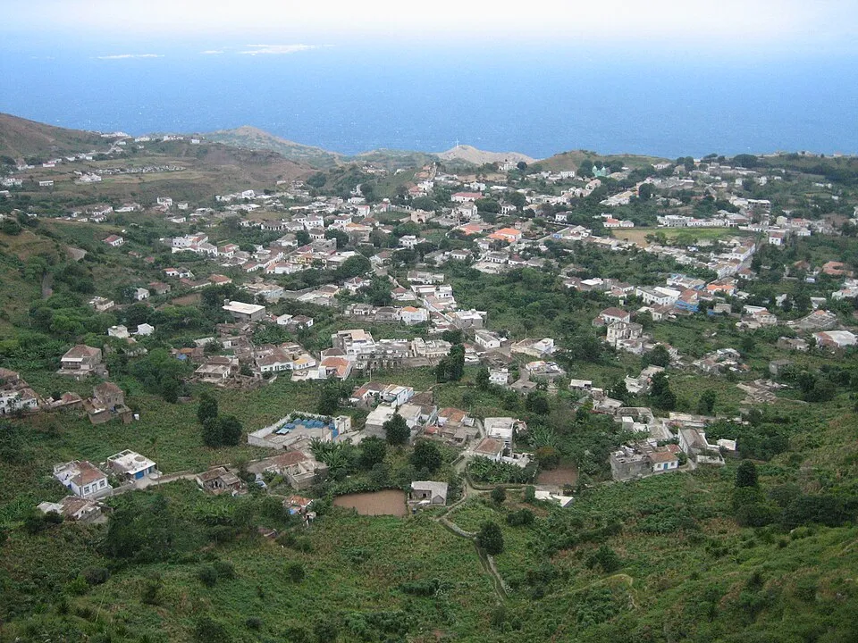
The flower-box capital at five hundred metres, kept green by a cloud microclimate — its streets quote the poet Eugénio Tavares.
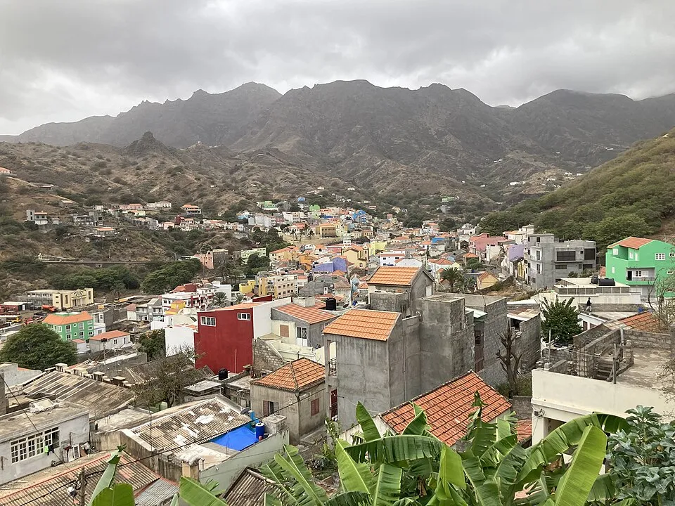
São Nicolau’s valley capital, founded when pirate raids pushed the town inland in 1653 — later the seat of the whole country’s diocese.
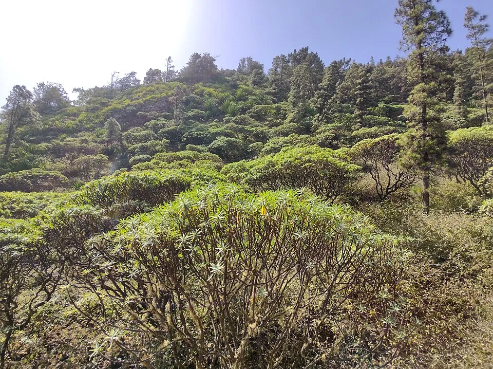
The 1,312-metre peak in São Nicolau’s natural park — a two-and-a-half-hour summit round trip through endemic dragon-tree country.
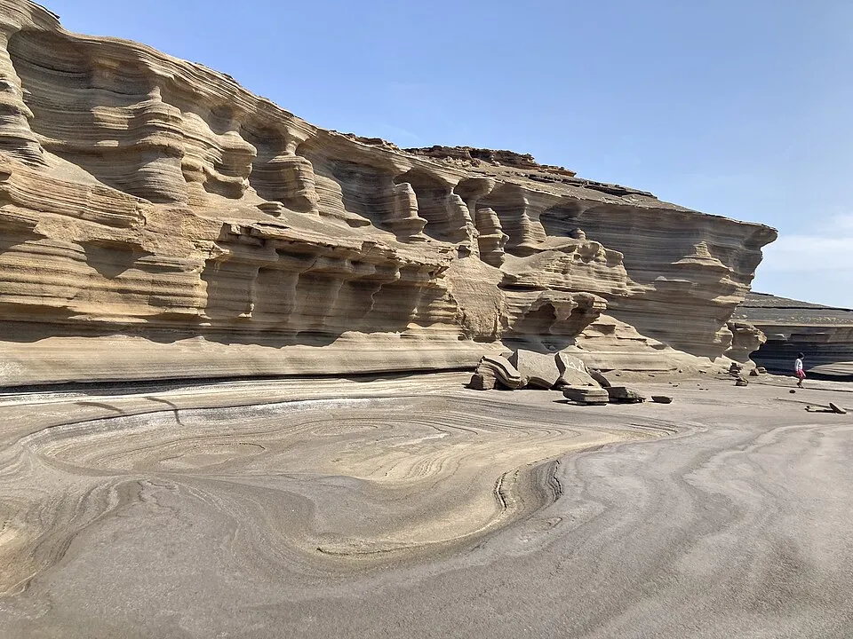
Wave-carved stone terraces that look poured rather than eroded — ranked among Cape Verde’s seven natural wonders, west of Tarrafal de São Nicolau.
Checked July 2026 — this section rots fastest, so it carries its own date. The carrier has changed twice in two years; distrust any guide older than this one.
For the hiking-plus-volcano trip most people picture: 8 days minimum, 10–12 comfortably, with a buffer day before your flight home. A single-island beach week needs no math at all.
CVsky flies the domestic routes (since spring 2026 — older guides name dead airlines). The Mindelo–Porto Novo ferry is the reliable one: about four a day, one hour. The Praia–Fogo–Brava ferry is three-a-week and cancellation-prone — fly that leg if your schedule is tight.
Yes — ease.gov.cv, at least five days before you fly, plus the ~€31 airport fee. Since 1 July 2026 arriving unregistered means paying double at the border. EU/UK passports get 30 days visa-free; US citizens are likewise admitted visa-free per the State Department.
Broadly yes. The US advisory sits at its lowest level for most of the country, one step higher for Praia (petty crime). Respect the ocean more than the streets — currents are strong, so swim where there are lifeguards.
Loggerheads nest on Boa Vista roughly July–October — licensed night tours only. Mindelo has live morna year-round and its Carnival in February. The August–October rains are what to plan hiking around, not toward.